Back to the start | Previous (Martyr and Cascade) | Next (Milford Sound)
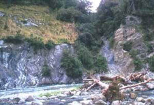
 1: At Hokuri Creek on the side of L. McKerrow, the Alpine Fault is marked by a vertical zone of soft clay gouge, seen here in the centre of the photo cutting through young gravel deposits. Detailed work has shown the last two displacements each offset river channels by about 8m, the last event occurring in the last 370 years
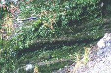
  2: Horizontal grooves on the fault surface caused by gouging of the soft clay during the last earthquake.
- Sutherland & Norris 1995