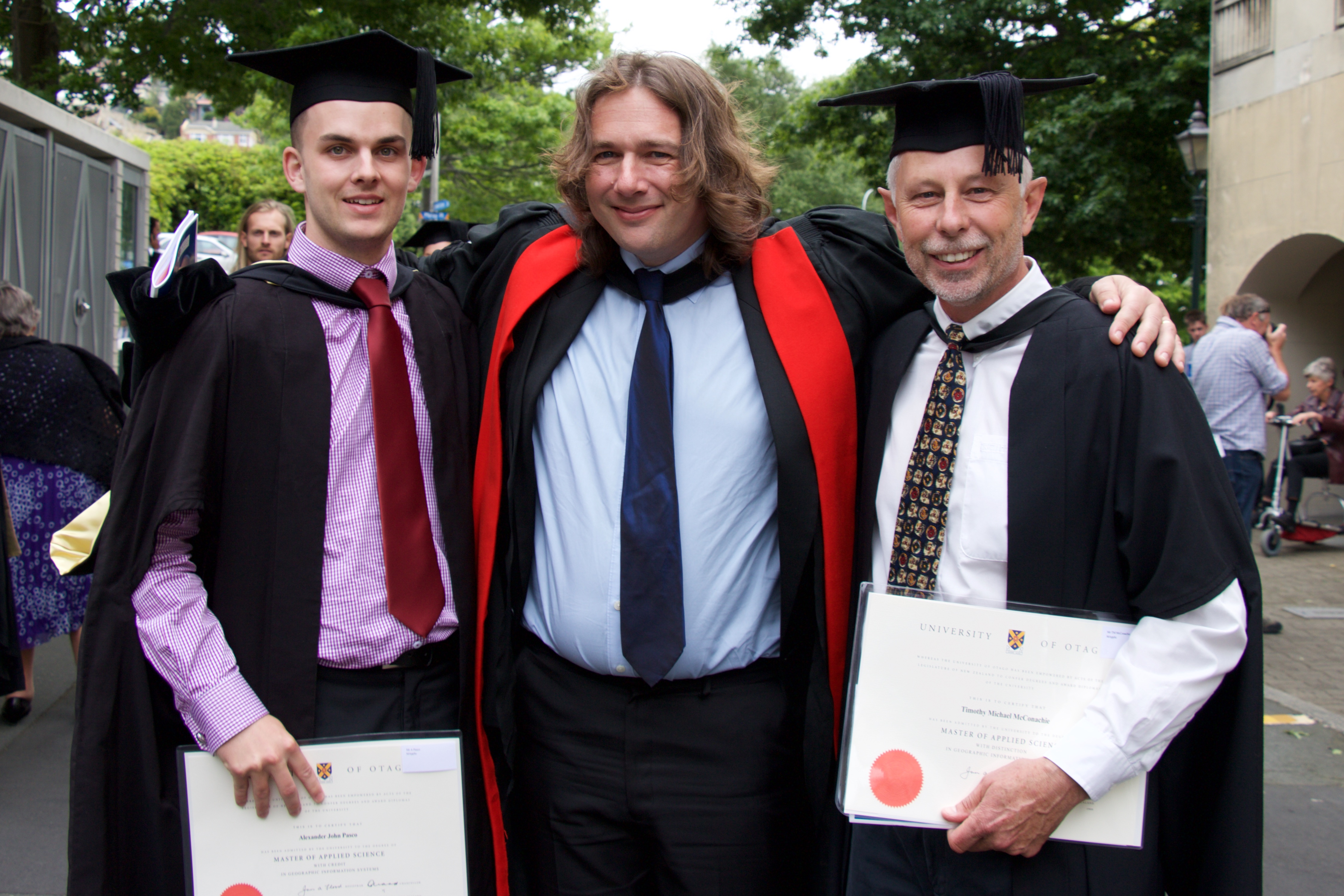
On Saturday 17th December, the first two Master of Applied Science in GIS graduates, Mike McConachie and Alex Pasco, crossed the stage to be awarded their degrees. As part of their study, Mike completed a project on sand dune vegetation mapping from drone images at Mason Bay, Stewart Island and Alex used GIS to map and integrate the various assets of Dunedin Airport. The MAppSc GIS is a new coursework-based degree aimed at upskilling graduates of related disciplines (such as surveying and geography) in GIS and remote sensing. The flexible programme facilitates study whilst maintaining a career.
