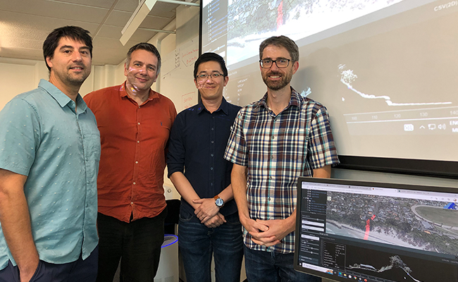
Surveying staff, from left, Associate Professor Pascal Sirguey, Dean of School Associate Professor Antoni Moore, Lecturer Dr Yong Chien Zheng, and Professional Practice Fellow Aubrey Miller.
School of Surveying Te Kura Kairūri academics have used their expertise and innovative technologies to create a publicly accessible interactive webpage that highlights the level of changes in the Dunedin cityscape over the last decade.
The 2021 light detection and ranging (lidar) based elevation open data for Dunedin's inner city was released in October last year. Associate Professor Pascal Sirguey has processed the data for rigorous comparison to a previous lidar survey in 2009.
The output is a 3D-Change Detection WebApp developed by the Matariki research project that allows public users to see detailed surface elevation change across the city over the 12-year period from 2009-2021.
The web-map reveals insightful examples of change in Dunedin city including precise spatial patterns of erosion and deposition of sand at St Kilda and St Clair beaches, changes associated with the Dunedin Hospital building project, and the growing greenery of the city, as illustrated by higher elevation levels over the period of change for the Dunedin Botanic Garden and town belt.
Associate Professor Sirguey says being able to use this highly accurate data, and translate it into a form for public use, is valuable for decision and policy makers across a huge range of applications including natural hazard and land use planning and management.
“The data can also be used to inform decisions regarding the sustainability and resilience of Dunedin, while also enabling tax payers to visually experience the value of their investment in the new generation of topographic survey data,” Associate Professor Sirguey says.
The release of this new data and interface using the latest geographic information system (GIS) 3D-mapping and modelling techniques and tools developed at the School of Surveying also coincides with the cohort of students commencing their studies this year.
An increasing number of surveying students are embarking on a new curriculum, which includes two new papers in the first year to learn new surveying and geospatial science skills.

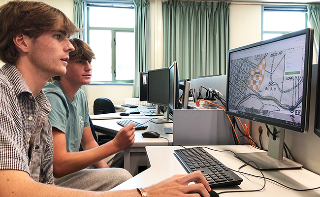
First year students Thomas Fulton (in foreground) and Tani Henwood enjoy their first lab, led by Aubrey Miller.
New surveying lecturer Dr Yong Chien Zheng, who coordinates one of these new first-year papers, says these forward-looking changes in the curriculum bring emerging survey techniques and spatial science together.
Geographical Information Science Associate Professor Antoni Moore has also started in his new role as the Dean of the School of Surveying, replacing Professor Christina Hulbe who held the position for ten years.
Associate Professor Moore says Professor Hulbe displayed exemplary leadership during her time as Dean, including facilitating curriculum changes and positioning the School as a Te Tiriti-led place of learning and research.
“I'm now keen to give back to the School which includes exploring convergences and synergies in the many different fields that surveying encompasses,” Associate Professor Moore says.
He adds it's great to see the first of the curriculum changes starting this semester for new students.
“These changes reflect surveying in the 2020s, bringing together the many different fields that the School covers, from geospatial science – GIS and remote sensing – to land planning and development as well as surveying measurement.
“All these areas can be applied to societal challenges and opportunities, including the critical issues facing us today, such as climate change.”
Link to the 3D-Change Detection WebApp: https://tinyurl.com/2p9rfptb