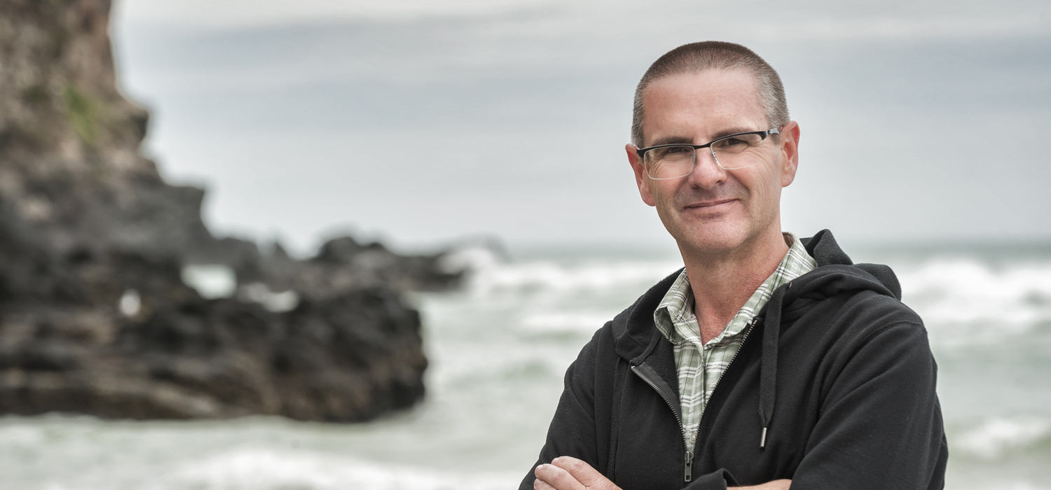
Kaikoura's coastal impacts
Although the Kaikoura earthquakes have devastated the region, they have provided a spin-off benefit for research by a University of Otago geographer who specialises in the development of rocky shorelines and shore platforms.
Dr Wayne Stephenson began monitoring 55 inter-tidal platform sites around the Kaikoura Peninsula in 1993, and inherited data for a few of the sites dating back a further 20 years.
Stephenson says that he will now remeasure the sites over the next couple of years to see how the erosion rates change following the raising of the platforms by about a metre.
He explains that each site has a triangle of bolts fixed deep into the rock and, each time he goes back, he precisely fits to the top of the bolts a device called a micro-erosion meter that measures tiny increases in the distance to the eroded rock below.
He says that one of the things he is keen to discover is how long it takes before the bases of cliffs raised above the sea by the 'quakes are once again exposed to wave erosion.
“The opportunity to observe the impact of uplift on a coastline like this is really quite fantastic,” Stephenson enthuses.
“Shore platforms comprise about 30 per cent of the world's coastlines, so anything that increases our understanding about how these shorelines develop is important.”
Stephenson notes that the raising of the coastal land by about a metre will offset the predicted effects of climate change and associated sea level rises in the region.
Photo: Alan Dove