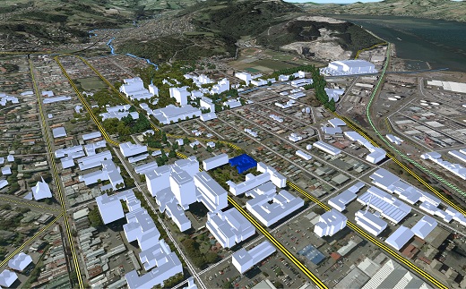
The School of Surveying at Otago is research active in the fields of Antarctic science, geospatial science, geodetic and surveying science, hydrographic surveying, land tenure and cadastral studies and land engineering and urban development.
Research themes
Research at surveying encompasses scientific and humanities approaches to land and sea. More specifically, aspects of research in measurement and geospatial sciences run alongside research in land tenure and urban development.
Antarctic Science
Research in Antarctic Science at the School covers the fields of Antarctic Glaciology, Sea Ice Physics and Remote Sensing. Research projects feature both field observations and numerical model simulations.
Find out about research in Antarctic Science.
Geospatial Science
Research in Geospatial Science at the School covers the fields of Geographical Information Systems (GIS), Remote Sensing, and Photogrammetry. Research projects feature both theoretical and applied approaches.
Find out about research in Geospatial Science.
Geodetic and Surveying Science
Research in Geodetic and Surveying Science at the School of Surveying covers the fields of earth or crustal deformation, global navigation satellite system (GNSS) positioning, geoid computation and long term sea level change.
Find out about research in Geodetic and Surveying Science.
Hydrographic Surveying
Research in Hydrographic Surveying at the School covers the fields acoustic measurement, high-resolution bathymetric mapping of the seabed, inland rivers and lakes and legacy hydrographic data.
Find out about research in Hydrographic Surveying.
Land Tenure and Cadastral Studies
Research in Land Tenure and Cadastral Studies at the School of Surveying covers the fields of New Zealand and international land tenure, land registration issues, aboriginal title, public-private property rights, boundary issues and land law.
Find out about research in Land Tenure and Cadastral Studies.
Land Engineering and Urban Development
Research in Land Engineering and Urban Development at the School covers the fields of Environmental Modelling and Urban Development Processes.
Find out about research in Land Engineering and Urban Development.
Postgraduate studies
The School offers a number of postgraduate and research courses, designed to satisfy different needs and to accommodate students from different academic backgrounds. Entry into these degrees varies according to both the quality and the level of a student's previous tertiary study. At the graduate level, the School offers the following qualifications:
- Postgraduate Diploma of Science (1 year),
- Masters (2 years) and
- Doctor of Philosophy (3 years)
- Find out more about our postgraduate programs.
- Find out more about student research.
- Meet our postgraduate students.
Research seminar series
The School of Surveying runs a seminar series showcasing projects and results related to the School research themes. Speakers come from within the school, the university, as well as nationally and internationally renowned visitors.
The seminar series normally runs weekly during semester time (current slot is Thursdays at 12pm in the L1 lecture theatre) and is organised by Emily Tidey.
Find out about past and upcoming seminars.
Survey School using Potree
The School of Surveying uses Potree.com WebGL capabilities to share point clouds in web browsers
