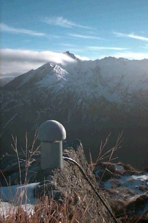
 We use GNSS data from a combination of continuous and semi-continuous GNSS stations in a transect across the Southern Alps (New Zealand) to measure rates of relative vertical movement with uncertainties that are typically 0.3-0.5 mm/yr. The estimated vertical rates define a fairly smooth profile across the range, with the highest rates of ~5 mm/yr found near the crest of the mountains and ~20-30 km southeast of the Alpine Fault. The distribution of vertical rates supports models based on horizontal velocities from GPS surveys in which interseismic coupling on the Alpine Fault decreases from 100% near the surface to zero by 13-18 km depth.
Collaboration
This project has been undertaken in collaboration with GNS Science, MIT (USA), University of Boulder at Colorado (USA) and UNAVCO (USA).