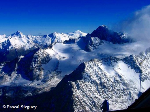
Research about snow and glaciers are conducted at the School of Surveying using remote sensing technologies. For example, MODIS and ASTER images are used in the Southern Alps of New Zealand to determine the hydrological supply to large hydro lakes and monitor glacier flow velocities.
The expertise of the School of Surveying in the mapping of land cover and habitat from very high resolution satellites (e.g., IKONOS, QuickBird) also supports various research projects in ecology and wildlife studies.
Snow cover monitoring with MODIS
Remote sensing of the seasonal snow cover with MODIS is undertaken at the School of Surveying to better understand the relative share of rain and seasonal snow melt to the lake inflow in the Waitaki basin.
Find out more about snow monitoring with MODIS.
Glacier research
 Remote sensing techniques have become appealing in research on glaciers as they mitigate many of the logistical problems associated with making in situ measurements. They also provide a synoptic view and historical record that is desirable to improve our understanding of glaciers behaviour and evolution.
Find out more about glacier related research.
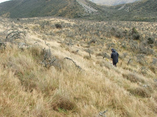
Land cover classification, habitat mapping, and image processing
 Remote sensing is traditionally used to derive land cover classification. Classification of medium to very high resolution images is conducted at the School of Surveying for applications related to ecology and zoology. Methodological aspects of image processing and classification are also addressed such as multi-spectral fusion of satellite images.