Avalanche statistics in New Zealand
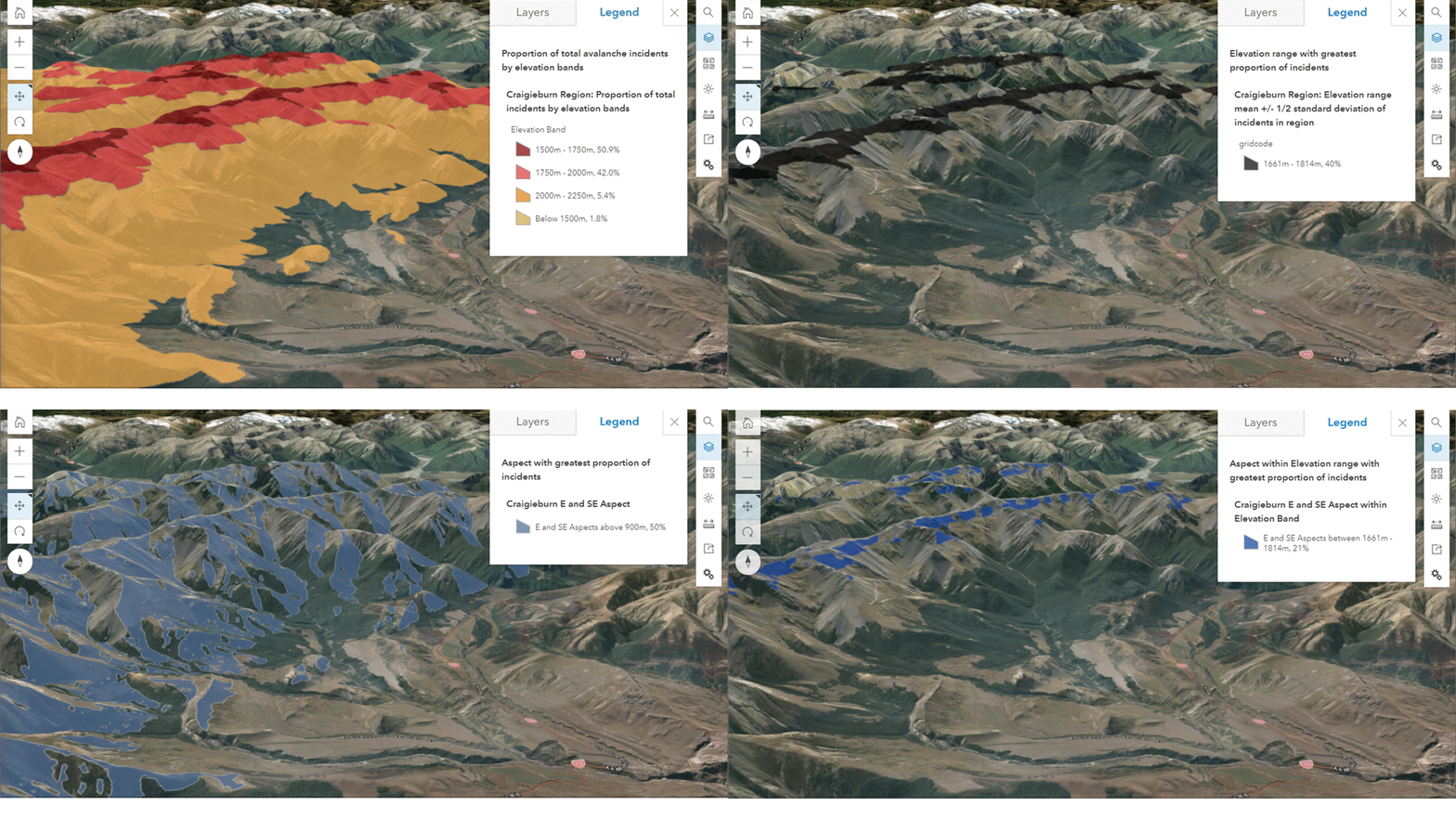
We are working with the NZ Mountain Safety Council (MSC) to analyse and visualise avalanche incident data as part of the MSC White Gold project. Avalanche incidents involving people in New Zealand between 1998 and 2018 have been analysed to look for patterns and insights, and to help recreationists understand what terrain and snowpack conditions have resulted in the human-involved avalanche incidents.
This is an ongoing research collaborative. Initial visualisations of the data can be explored from the WebGIS link in Project Outputs below. Here we have visualised reported information on the elevation and aspect of avalanche incidents in the dataset, breaking them by New Zealand Avalanche Advisory Forecast regions, and only focusing on regions with the most reported avalanche incidents (Aoraki Mount Cook, Craigieburn Range, Mt Hutt, Queenstown, Tongariro and Wanaka).

Public avalanche observations
In the future, we will also incorporate public avalanche observations into the database. In addition to providing additional valuable data for avalanche forecasters to use when preparing the daily forecasts, the public observation data are also valuable to longer-term analyses of avalanche incidents.
With collaborator and fellow mountain researcher Shane Orchard (University of Canterbury), who has experience on a wide-range of citizen science initiatives, we will be looking at ways to make full-use of publically-volunteered snow and avalanche data.
Team: Aubrey Miller, Nicolas Cullen (University of Otago), Shane Orchard (University of Canterbury) and NZ Mountain Safety Council team (Tom Harris and Nathan Watson).

