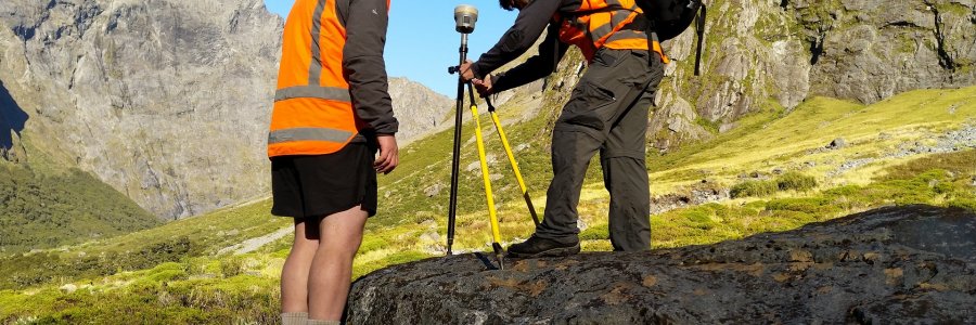
We spent several days this summer collecting ground control points (GCPs) used to process satellite imagery and build 3D elevation models. The GCPs will be used to create accuate, high resolution (2m) surface models for a large region of Fiordland, offering a new level of detail for the iconic terra...
We spent several days this summer collecting ground control points (GCPs) used to process satellite imagery and build 3D elevation models. The GCPs will be used to create accuate, high resolution (2m) surface models for a large region of Fiordland, offering a new level of detail for the iconic terra...